- PROPERTY BOUNDARIES
- GPS AND MAPPING
- LOT DESIGN AND LAYOUT
- ELEVATION AND ANGLE MEASUREMENTS
- FORENSIC MAPPING
- CRIME SCENE MAPPING
DESIGNED FOR GEOSPATIAL
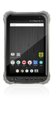
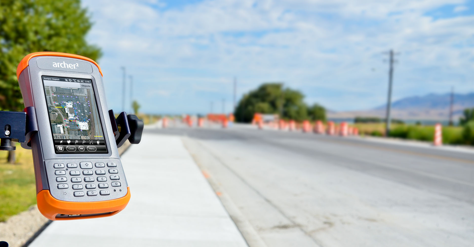
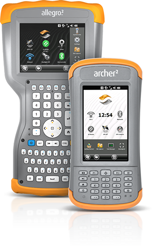
Juniper Systems rugged handheld computers are used in a variety of geospatial applications, including land survey, construction survey, and forensics mapping. Combined with the extraordinary solutions provided by our valuable geospatial business partners, Juniper Systems rugged data collectors offer integrated GPS and sub-meter DGPS, digital camera, Bluetooth®, Wi-Fi, and cell modem connectivity, as well as devices with full alphanumeric keyboards.
Our geospatial customers rely on our rugged handhelds to be the ideal tools for mapping, surveying, and GIS data collection applications due to the ultra-rugged construction, ergonomic design, long-term battery life, sunlight readable displays, and expandable/customizable solutions. Contact Juniper Systems today to find your perfect geospatial solution!


